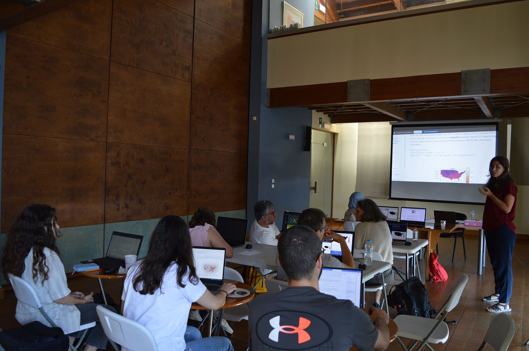
The MLDS students participated in a short course titled "Spatial Data Science with R" led by Paula Moraga at the GeoENV 2024 conference, on June 18th. This course provided an introduction to analyzing and visualizing spatial data, a valuable skill for many fields.
R is a free, powerful programming language specifically designed for data analysis. This makes it a valuable tool for researchers in many fields, allowing them to uncover hidden patterns and communicate their findings through clear visualizations.
Students explored various data types, learned powerful R packages for manipulation and visualization, and ventured into advanced Bayesian spatial models using INLA and SPDE approaches.
Through real-world applications like air pollution prediction and disease risk mapping, the students gained practical experience and a deeper understanding of how this skillset can be used to tackle challenges across diverse disciplines.
Web link of the event: https://2024.geoenvia.org/short-courses/